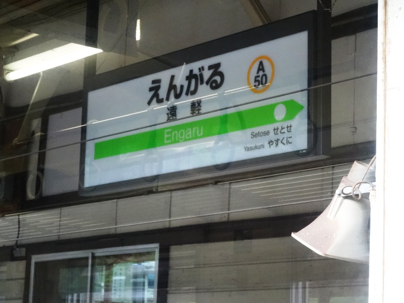
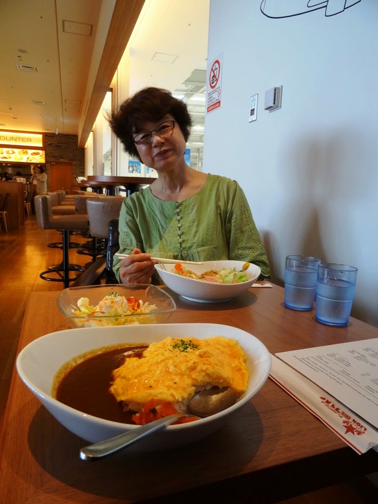
The second day of my private tour, I started out from my hostel in Shari and returned to Abashiri, which I had passed through the previous night. My goal: complete my aikido/daito-ryu aiki jujutsu pilgrimage. After that, I calculated that I could safely meander up to the Shiretoko 5 Lakes, where my hostel roommates were going to venture by car as I headed inconveniently in the opposite direction to Abashiri (they had offered the three of us go together, but I had a dojo to find).

This was the view of the Okhotsk Sea from the train as I traced my tracks back to Abashiri. Fishermen were already out in the bay.

First thing is first- get a map (of Abashiri)! Or a picture of one..yay train stations!

This was a statue outside the Abashiri train station. Yay Lion's Club!

After finding my GoogleMaps directions faulty and thus asking one driver as she went past, and THEN the kind store lady I was referred to, I finally found the first dojo established by Sokaku Takeda-sensei, where daito-ryu aiki-jujutsu is still taught to this day. This is the dojo where Morihei Ueshiba trained under Takeda-sensei for 2 years, and became one of the top students of the 1,000-year-old art.


Because I had about 40 minutes to spare before my return train to Shari, I walked up the hill to search for the famed prison of Abashiri (quite aimlessly). This is a shot taken in the direction of the daito-ryu dojo. For reference, if you look at the map above, I'm heading up the hill that is south of the train station and looking east.

I took a local route/pathway through two houses, whose gardens and view were pretty spectacular.
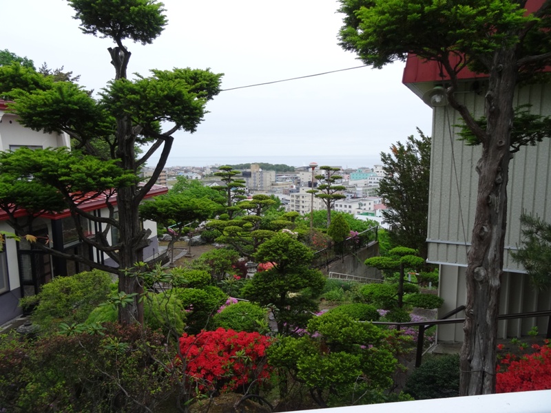
The plant-life along the road I took back down towards the station was pretty spectacular as well.


And humongous... (hand is shown for size comparison)


Back on the train, well in time for the 10:00AM departure. On my way to the train station, I met a gal who was headed to Shiretoko's Utoro, my next destination, so we ended up hanging out.

Fishing stuff for Paul. Sorry it's a little blurry ^^"

I snapped a quick image of the driver, only one of two so far in my experience who did not pull the curtain down. I enjoyed watching him work out of the corner of my eye...or maybe not-so-much-corner of my eye...poor man. But I did appreciate getting the shot, because this symbolizes so much of my journey around Hokkaido and Japan in general.

I had a theory that this weird fence had to be some sort of wind- or snow-break in the winter, which later proved to be correct.

These next two images reminded me a bit of Iceland.

Heck, the horses were even laying down!

Ahead is the Shiretoko mountains/volcanoes, my next goal.

I saw these signs everywhere. This one is on the door of the new train station in Shari. I'm pretty sure they're for people to know where to run in case of flooding or storms.

Shari's bus terminal! From here, my new friend and I took a bus up to Shiretoko National Park.

I did not stay in this hotel, however it was my landmark for Shari, since it was the tallest thing around.

Some people are smart, and know to put arrows where the roadside is, probably for winter snows.

The only image I got of my companion, who was enjoying the almost-empty bus just as much as me. I also because quite attached to the bus driver, who had one fantastic laugh!

Oooo, is that a path I see? That could be fun.. This was in Utoro, where I said goodbye to my traveling buddy, and continued on the bus to Shiretoko 5 Lakes (Goko). Note the skies? Yeah, it was pouring. Of course.
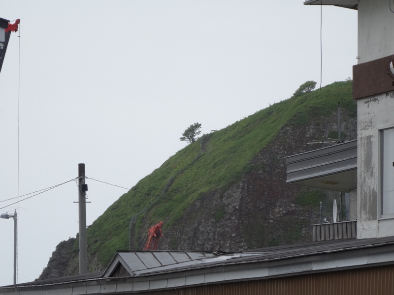
This was the raised path at Shiretoko Goko. Nice electric fence, ey?


Above and below is where my theory of the not-so-randomly-placed-awkward fences was proven correct!


Yup, once you walk a path, there is no going back. That down there is a path that you need to pay moneys to walk on, so no thank you. I had limited cash on hand, and no ATM to be found.


IO-ZAN!!! I LOVE YOU!!! (volcano, special volcano)

You know you're in Japan when...everyone has umbrellas.

The orange path is the one I walked.


For all you Alaskans complaining or shaking your heads over the busloads of Japanese tourists coming through town, please note that they do the same thing all the time in Japan.

So, this is why we would have to pay to walk the forested trails... Bear Aware Season calls for a reservation in advance and also a trail guide. I'm happy with my free, elevated path with electric fence, thanks!

Here's a model of the lakes, not quite to scale, but it was cool nonetheless.

Approaching Utoro, checking out the funky boulders through the rainy window, and weighing my options- stop in Utoro and check the place out, or continue to the cool waterfall I saw earlier. Either way, I had only one bus I could take back to Shari and my hostel.


Well, with the suggestion of the nice workers at the bus terminal, I stopped in Utoro, found that path I saw earlier, and climbed to the top! Yay! This is the view of the Shiretoko mountains I had just visited. It was so beautiful.
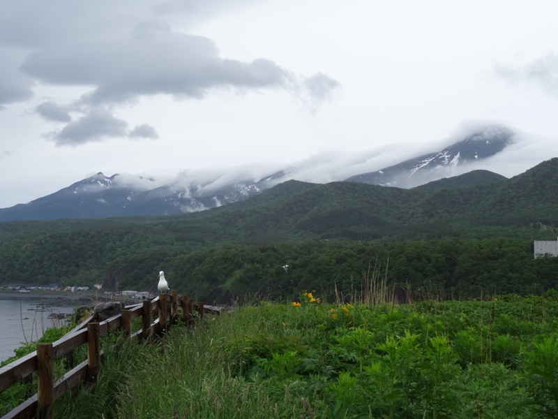
This guy was checking me out and hung around for a while.


Some workers were replacing pieces of the sea wall. There were a couple of divers in the water, and they had them on loud-speaker. If you ever have to hear such a thing for an extended period of time, I hope you are near a bathroom, because it's 10 times worse than listening to running water. It was unfortunate to discover this at the top of a boulder in the middle of nowhere, let me tell you.


Paul! Fishing stuff!

There were also some beautiful flowers up there.


...and spiky ones...


Nice slopes, ey?
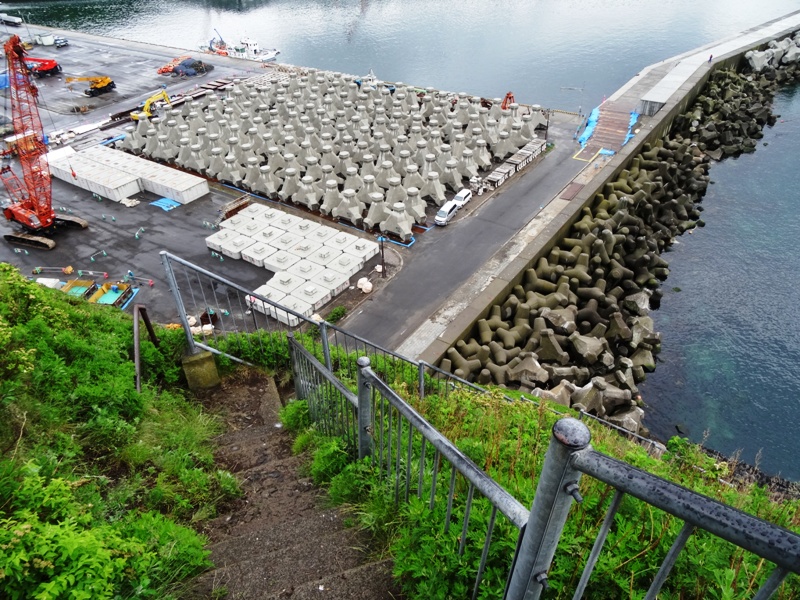
Just for you, Dad :)


After descending Oronkoiwa Rock, I headed to the nearest 7/11, for the restroom, the ATM, and the opinion of the locals. I had 2 hours until the next bus to Shari and after getting a second opinion from the store worker, I decided to walk to the waterfalls, which I now see according to GoogleMaps is 8.2km, which would take approximately 1 hour and 45 minutes to walk. If I missed the bus at the falls, it was going to be a very interesting night.
Here's a departing image of Utoro...oh beloved and fun rock.

AND SOLAR PANELS, Utoro, Hokkaido

Just past the solar panels, a car pulled up and the driver got out. Apparently he had been listening to my conversation with the 7/11 worker and had free time if I needed a ride. While still contemplating the stories I had heard of safe hitch-hiking across Hokkaido, ignoring my mother's screams, and weighing the odds of making the bus in time, I got in the car and we were on our way.
Apparently my benefactor was working at a hotel in Utoro as a chef for a summer job and spends the rest of his year in southern Hokkaido, working at a different hotel on the ski slopes. He had never stopped to see the waterfall (Oshin-Koshin Falls) and had a day off to scoot around a hapless foreigner.


Erosion control! (Ha, if only...)

Instead of waiting around a couple hours to take the bus from Oshin-Koshin Falls back to Shari, my new acquaintance happily offered to give me a little tour of Shiretoko, namely the view of Russia from Shiretoko Pass (which I would otherwise be unable to access until the following week according to the seasonal bus schedule) and a safe return to Shari.
As we headed up the pass, I was tickled to find large swaths and banks of snow still remaining from winter.

For reference, this is the location of Shiretoko Pass, where we stopped to see Russia.
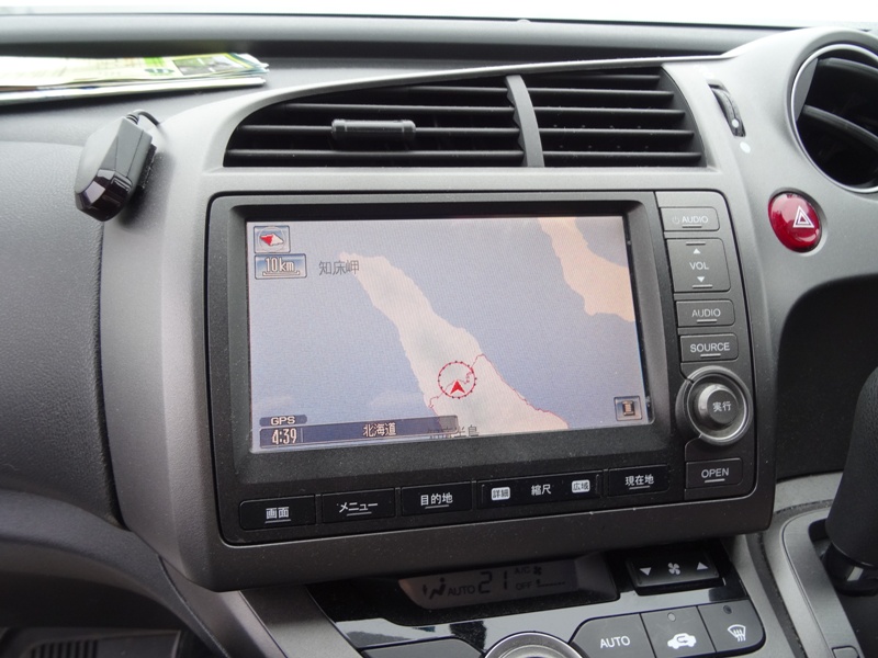
So if you look closely at the following image, you can see a worn spot on the arm of the main land mass. That is where I was standing. Due to the elevation of this spot, you can see the island (Russia!) parallel to the arm...

RUSSIA!!! on a rainy day

Hey, it was great. I travel the extent of Japan and get the same view!
Quiz Time! Which of these images is on Aso-zan (Volcano), Kyushu, and which is at Shiretoko Pass, Hokkaido? Both spectacular views, as you can see! Just like the brochures!
A.


Utoto again! Yay! (we had to pass through Utoro to get to Shiretoko Pass, and then through again to get back to Shari)

MASS WASTING!! YAAAY!

SOLAR PANELS, Shari, Hokkaido

Ramen! Yum! My compatriot had dinner with me before dropping me off at the Shari train station, and refused to let me pay for the gas AND the ramen...he was so nice... Yum yum ramen! It was a local flavor, the fish broth made with the day's catch!

This was a cool wire/metal statue outside the Shari train station.
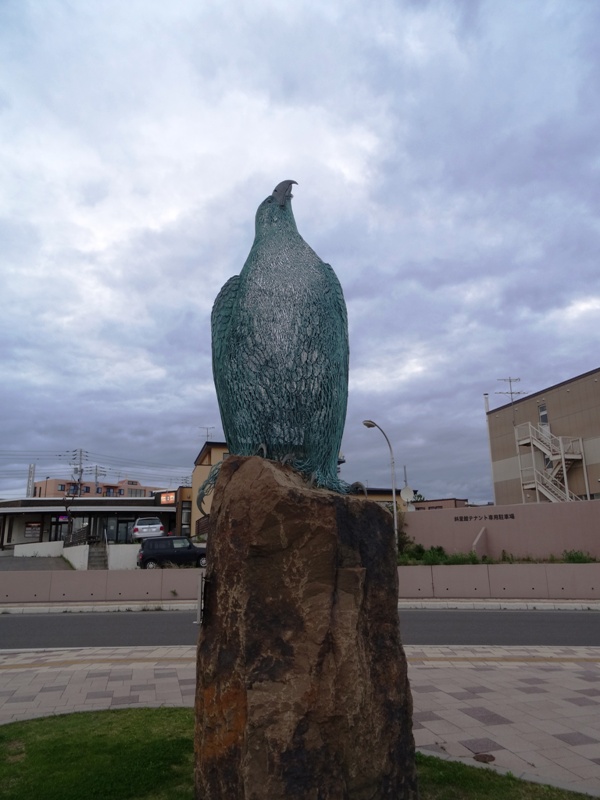

It was a truly snazzy (and new) train station at Shari.

Right, I haven't told you the adventure I had the first night in Shari, trying to find my hostel in pitch-black darkness that is night in the Hokkaido countryside, with GoogleMap directions that were wrong...or interpreted incorrectly. Well, let's say it's a very good thing that I focused my first day of travels to getting to Shari ASAP, because I spent two hours walking unlit back-country roads from 8 to 10pm, looking for a hostel, outside of a town I had never been to before in my life. With no flashlight, and no phone battery left to call the number I had for the hostel.
As it was, I knocked on several doors, only a couple which opened to reveal reserved farmers settling down for the night (that was around 9pm). I found out from my teacher later that apparently there is a Japanese TV show in which actors go around asking to stay the night at random farm houses, which may explain the one door where there was obviously someone just on the other side, but nobody called out or opened up. The two sets of directions I did get led me along a long road that I could barely make out and had to trust my feet find, to a hotel/lodge of sorts, that had an open door. It was a nice place and looked somewhat similar to the pictures I had seen of the hostel online, but nobody was there to receive me (although the nice tour lady in Kamikawa had called ahead and made sure someone would be awake at 10pm for me). So after calling out and waiting around 10 minutes, I willed myself to turn back out into the black of night. I continued down the road I had been sent by the farms and eventually came to what I am pretty sure was a T-intersection.
By that time, the lights were starting to go out in the few houses I could see. Soon I was going to be down to my sense of feel and my too-accurate sense of hearing (childhood fear of the dark, folks). Somehow, my brain made the calculation that the place I was looking for had to be large enough to be a cheap hostel, and still have some lights on this late, since someone was waiting up for me get there. The road stretching on to my right was blank dark as the field in front of me, but when turned around and looked leftwards, there were were a few squares of light far down, perhaps half a kilometer. Well, I headed towards the light, even climbing a wall and tearing through some trees, to come to a large window, which I had mistaken for a sliding door. I helplessly knocked on the window, and a man inside walked by, towards some unseen entrance. Eventually, I fought my way through tall grasses and gods know what else to another side of the house, where I found a proper sliding door. Apparently my last hope had been the hostel I was looking for, and good thing too...
So a little less than 24 hours later, here I was, walking my way back to the hostel, my last night in Shari. This was a local shrine, and I would not be surprised if the tori (gate/entrance) was made out of driftwood :) Yay coastal towns.

If you don't know, this is a garbage bin designed to keep animals out...like the regular crows...and probably bears, right? This was not very comforting to see in the eerie light of the rare streetlight along the main road that first night.. like my fear of the dark needed any help...

I also went down to the river side and enjoyed the night as it fell on Shari and the surrounding mountains.


This is the hostel I stayed in for two nights ($20 total by the way): Camp Clione.


Since my roommates were gone after their visit to Shiretoko Goko and nobody else came in until early the next morning, I had the room all to myself! Yay!